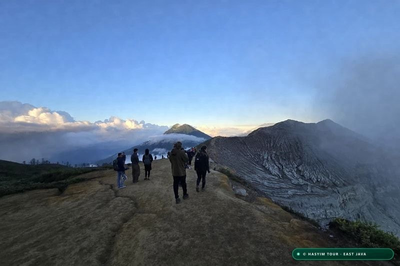
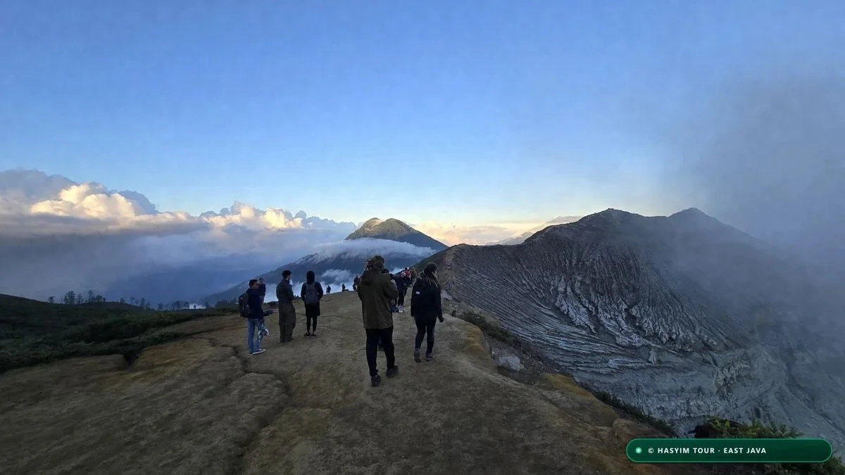
Climatology and Seasonal Regimes in East Java
KEY SUMMARY: The optimal time to hike Kawah Ijen is during the dry season from May to October. This atmospheric window delivers cloud-free skies on 85% of nights, firm non-slip volcanic paths, and optimal visibility conditions for viewing the electric blue fire at the caldera floor.
The Ijen volcanic complex, culminating at 2,386 meters above sea level on the administrative border of Banyuwangi and Bondowoso regencies in East Java, experiences a pronounced two-phase tropical monsoon climate. Deeply governed by the Indo-Pacific atmospheric circulation and its close proximity to the Bali Strait, the stratovolcano develops its own rugged mountain microclimate. Here, seasonal shifts directly govern hiker physical safety, trail traction, and the optical transparency of the nocturnal atmosphere.
The dry season, reigning with remarkable consistency from May through October, is driven by the East Monsoon. This circulation draws dry, cool continental air masses northward from the Australian desert across the Timor and Java seas. During this prime six-month window, monthly precipitation plunges below the critical 40-millimeter threshold, while nocturnal cloud cover reaches its annual minimum. For travelers seeking to witness the ethereal blue flames dancing inside the caldera, this period offers a verified success rate exceeding 85%, with crystal-clear skies free from the dense acidic steam that blankets the crater during wetter months.
Conversely, the wet monsoon season, propelled from November to April by the West Monsoon originating over the equatorial Asian landmass and warm Pacific waters, brings intense rainfall frequently exceeding 250 to 380 millimeters per month. On the steep volcanic flanks, these torrential tropical downpours turn the sandy volcanic ash trails into hazardous, slippery mud. Furthermore, heavy rains significantly elevate the risk of rockfalls along the steep inner caldera cliff face and generate massive steam condensation upon contact with the world's most acidic crater lake, occasionally reducing horizontal visibility to less than five meters.
The transitional months of April and November represent intermediate operational windows. While downpours occur less persistently than in the peak of the rainy season, diurnal atmospheric shifts are dramatic, alternating between crisp sunny mornings and rapid convective thunderstorm development by late afternoon. Rigorous planning based on localized meteorological telemetry from Indonesia's Meteorology, Climatology, and Geophysical Agency (BMKG) is imperative before initiating any nocturnal ascent during these shoulder periods.
Beyond precipitation volumes alone, prevailing wind velocities represent a primary meteorological parameter frequently neglected by non-local tour operators. Along the exposed summit crater rim, prevailing easterly wind gusts routinely reach 45 to 60 km/h during July and August, creating intense windchill and driving dense plumes of toxic sulfur dioxide (SO₂) directly across primary scenic observation points. Partnering with an experienced local mountain guide from Tamansari or Licin ensures that gas drift patterns are accurately anticipated and trail routes adapted in real time. For a seamless trekking experience, explore the profile of our certified local mountain guide Hasyim and our popular 2D1N Kawah Ijen & Local Village Tour.
"At Ijen, mountain weather is far more than a matter of personal comfort: clear skies determine blue fire visibility, while wind vectors dictate whether toxic gases stay at the caldera base or sweep the hiking trail."
| Season | Target Months | Monthly Rainfall | Trail Surface Stability | Blue Fire Visibility | Risk Factor |
|---|---|---|---|---|---|
| Peak Dry Season | June to September | 15 - 35 mm | Dry, compact volcanic ash | Superb (90-95%) | Low |
| Early / Late Dry Season | May & October | 40 - 75 mm | Predominantly dry and firm | Very Good (80-85%) | Moderate |
| Wet Shoulder Window | April & November | 90 - 150 mm | Partially slick, muddy patches | Moderate (60-70%) | Medium |
| Peak Monsoon Season | December to March | 220 - 390 mm | Severe mud, loose gravel slips | Unpredictable (35-50%) | Elevated |
- Optimal dry season window: May to October, monthly rainfall < 40 mm, clear night sky probability > 85%.
- Shoulder transition months: April and November, occasional late afternoon showers, trails passable with caution.
- Wet season challenges: December to March, heavy rainfall > 300 mm/month, high trail slip risk and dense acidic steam.
- Role of Australian dry winds: steady easterly airflow in July and August effectively dissipates ground fog.
Chemical Dynamics of Blue Fire and Exact Timing
KEY SUMMARY: The electric blue flames of Kawah Ijen are caused by the spontaneous combustion of pure sulfur vapors escaping from pressurized fissures at temperatures exceeding 600°C. They are strictly visible in complete darkness between 02:00 AM and 04:30 AM.
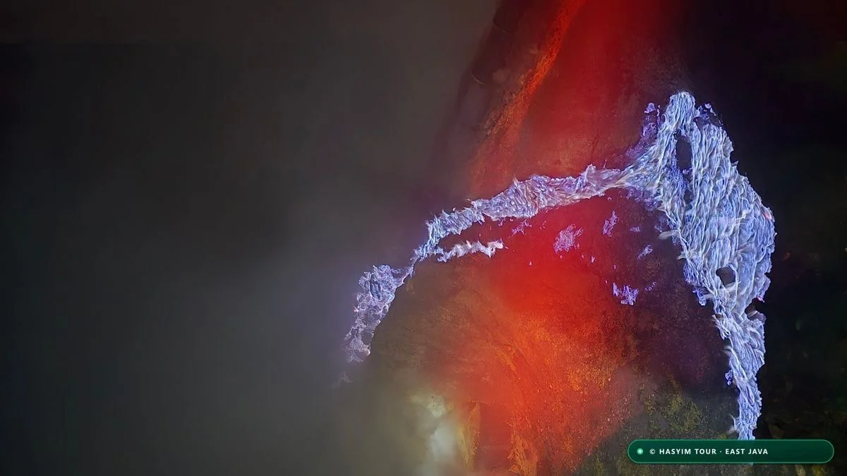
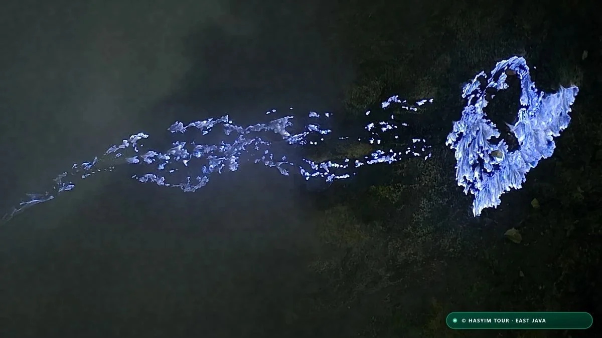
Contrary to widespread misconceptions popularized across social media travel channels, the extraordinary blue fire of Kawah Ijen is not a stream of glowing blue volcanic lava. Instead, it is the visible manifestation of a violent, continuous exothermic chemical reaction. Deep within the active solfatara field situated on the southeastern shore of the hyper-acidic crater lake, superheated magmatic gases at temperatures between 450°C and 600°C escape under extreme pressure from fractures in the volcanic crust. These gases are heavily concentrated with diatomic sulfur vapor (S₂) and sulfur dioxide (SO₂).
The moment these high-velocity sulfuric vapors vent into the open atmosphere, they immediately encounter atmospheric oxygen. Because the gas emergence temperature far exceeds the autoignition temperature of elemental sulfur (approximately 360°C / 680°F), the gaseous sulfur ignites instantaneously without requiring any external ignition source. This spontaneous combustion produces spectral flames radiating an intense cobalt blue glow, corresponding to the radiative electronic transitions of excited sulfur dioxide molecules. To dive deeper into the chemistry and exact night timing, read our complete Kawah Ijen blue fire expedition guide.
In addition to the incandescent vapor phase, a portion of the sulfur gas condenses into a liquid state at temperatures between 115°C and 120°C. This molten, burning elemental sulfur flows down the rugged volcanic rock faces, creating the breathtaking visual illusion of glowing blue lava rivers cascading down the dark caldera walls. This phenomenon exists permanently in only two accessible volcanic locations on planet Earth: Mount Kawah Ijen in Indonesia and the Danakil Depression in Dallol, Ethiopia.
Crucially, the radiometric intensity of these blue flames, while vivid in darkness, is subtle when compared to ambient daylight. As astronomical twilight begins to illuminate the upper atmosphere around 04:45 AM, diffuse solar scatter overwhelms the blue emission wavelength. By 05:15 AM, the flames become completely invisible to the human eye, replaced by dense, billowing white-and-yellow sulfur smoke rising from the condensation ceramic pipe networks operated by local miners.
Strict adherence to an early nocturnal schedule is therefore mandatory. Because the official park gates at Paltuding open at 02:00 AM, visitors must maintain a steady hiking pace: 1 hour 15 minutes to 1 hour 30 minutes to climb the 3 kilometers to the crater rim, followed by an immediate 45-minute technical descent down the 800-meter rocky track inside the caldera. This ensures arrival at the sulfur vent field by 03:45 AM to 04:00 AM, providing 30 to 45 minutes of undisturbed viewing before the dawn light washes out the blue flames.
"The blue flame is alive, fleeting, and unyielding. The moment the eastern horizon turns pale grey, the blue fire dissolves into thick plumes of golden sulfur smoke."
| Time Window (WIB) | Ambient Illumination | Blue Fire Optical Quality | Recommended Trekking Phase | Crowd Density |
|---|---|---|---|---|
| 02:00 - 03:15 AM | Pitch-black nocturnal sky | Maximum radiance at vent field | Ascending outer flank trail from Paltuding | High at base gate |
| 03:15 - 04:15 AM | Deep volcanic darkness | Peak chromatic saturation | Descent inside caldera and blue fire viewing | Focused around vents |
| 04:15 - 04:45 AM | Early astronomical dawn | Gradual contrast fading | Final photographs then begin ascent to rim | Two-way trail traffic |
| 04:45 - 05:30 AM | Civil dawn and sunrise | Flames invisible, smoke visible | Sunrise viewing over turquoise acidic lake | Assembled on crater rim |
- Chemical origin: spontaneous autoignition of high-pressure sulfur vapors (S₂) venting at 450°C-600°C.
- Molten sulfur cascade: liquid sulfur condensation (115°C) flowing down rocks as glowing electric streams.
- Optical fade window: complete visual washout by 04:45 AM under the influence of morning twilight.
- Target arrival timetable: reach the caldera floor between 03:30 AM and 04:15 AM for optimal viewing.
Altitude, Atmospheric Pressure and Thermal Gradient
KEY SUMMARY: Hiking Kawah Ijen involves climbing from Paltuding basecamp (1,850 m) to the crater rim (2,386 m), a net vertical gain of 536 meters. Nocturnal temperatures frequently drop between 4°C and 9°C, exacerbated by strong windchill, requiring a technical 3-layer clothing strategy.
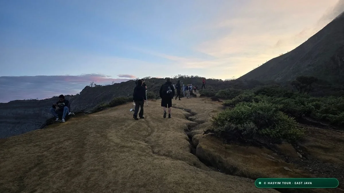
Many international travelers arriving at Kawah Ijen fall into the dangerous trap of projecting the tropical warmth of Bali or Surabaya onto the peaks of East Java's volcanic highlands. At 2,386 meters above sea level, alpine thermodynamic principles govern the nocturnal atmosphere: following the standard environmental lapse rate, ambient air temperature decreases by approximately 0.65°C for every 100 meters of vertical ascent. In the clear, dry air of the East Monsoon, intense radiative cooling strips heat from the ground during the night.
At the Paltuding trailhead (1,850 meters elevation), midnight temperatures typically hover between 12°C and 15°C. However, as hikers ascend the exposed ridges and approach the crater rim, the mercury plunges sharply to between 4°C and 8°C. During peak dry season months (July to September), when cold antarctic air masses push across the Indonesian archipelago, pre-dawn temperatures on the rim have been recorded as low as 2°C.
Windchill substantially amplifies this physiological challenge. A persistent 30 km/h wind blowing across the exposed summit ridge at an ambient temperature of 5°C reduces the human felt temperature to approximately -1°C. This violent thermal contrast—between heavy cardiovascular sweating during the steep 20-28% grade sections of the climb and stationary shivering on the windy crater rim while waiting for sunrise—represents the primary trigger for mild hypothermia among underdressed visitors. If you plan to combine your trek with Mount Bromo, check our comprehensive trekking guide comparing Ijen and Mount Bromo.
Barometrically, atmospheric pressure at the summit of Kawah Ijen drops to approximately 765 hPa (compared to 1,013 hPa at sea level), causing a 24% reduction in the partial pressure of oxygen (pO₂). While this elevation sits below the threshold for severe Acute Mountain Sickness (AMS), the combination of steep inclines, oxygen reduction, and sulfur fumes places significant demands on cardiovascular endurance and respiratory rhythm.
To safeguard comfort and performance, our guiding team enforces the technical three-layer principle. Layer 1 consists of a moisture-wicking merino wool or synthetic thermal base that keeps skin dry during exertion. Layer 2 is an insulating mid-layer (fleece jacket or lightweight compressible down jacket) that traps vital body heat during breaks. Layer 3 is a windproof, water-resistant hardshell jacket that shields against mountain gusts and airborne acidic mist.
"Travelers arrive in shorts straight from the beaches of Bali only to find themselves shivering violently at 2,300 meters. The mountain demands respect for its cold."
| Elevation Waypoint | Altitude (m) | Night Temperature | Barometric Pressure | Average Incline | Required Gear |
|---|---|---|---|---|---|
| Paltuding Trailhead | 1,850 m | 12°C to 15°C | ~815 hPa | Flat (0%) | Base layer, headlamp active |
| Pos 1 (Rest Shelter) | 1,980 m | 10°C to 13°C | ~802 hPa | Moderate (12%) | Breathable active clothing |
| Pos 2 (Pondok Bunder) | 2,214 m | 7°C to 10°C | ~780 hPa | Steep (22-28%) | Respirator handy, hydration |
| Crater Rim Ridge | 2,386 m | 4°C to 8°C | ~765 hPa | Gradual (8%) | Down jacket, gloves, beanie |
| Caldera Floor (Vents) | 2,140 m | 8°C to 14°C | ~788 hPa | Rocky descent (30%) | ABEK1 respirator sealed, gloves |
- Paltuding basecamp elevation: 1,850 meters ASL, registration point and gear preparation hub.
- Crater rim elevation: 2,386 meters ASL, total vertical gain of 536 meters over 3.0 kilometers.
- Nocturnal temperature range: 4°C to 10°C, with dry season cold snaps reaching 2°C in July-August.
- Windchill amplification: exposed ridge winds reduce felt temperatures by an additional 5°C to 7°C.
- Technical dress code: strict 3-layer system (moisture-wicking base, fleece/down mid-layer, windproof outer shell).
Detailed 12-Month Meteorological Matrix
KEY SUMMARY: Ten years of meteorological records prove that July and August represent the golden months for Kawah Ijen, featuring just 15-20 mm of rain and 95% clear nights. In contrast, January and February see over 320 mm of precipitation, making trekking far more demanding.
To empower independent travelers and tour planners with verified empirical data, we synthesized over a decade of historical weather observations from the Ijen Plateau weather stations, Baluran coastal records, and Copernicus atmospheric reanalysis datasets. This statistical approach replaces subjective travel advice with concrete probabilities, allowing you to select your travel dates based on your personal balance of weather reliability, crowds, and temperatures.
The dry season window from May through October demonstrates remarkable atmospheric stability. Monthly rainfall remains strictly under 50 millimeters, and rainy days rarely exceed 3 to 5 per month, typically appearing as brief afternoon drizzles that evaporate hours before the nocturnal hike begins. In July and August, relative air humidity at the crater rim routinely drops below 60%, delivering exceptional atmospheric clarity for astrophotography and Milky Way observation directly above the caldera.
However, this weather perfection coincides with peak global travel demand. July and August correspond to European summer vacations and domestic Indonesian school holidays. Peak weekend nights can see up to 2,000 hikers on the trail, leading to congested bottlenecks along the narrow single-track descent into the crater. For travelers seeking tranquility without sacrificing weather quality, May, June, and September offer virtually identical dry skies with 40% to 50% fewer visitors.
The monsoon period from December to March demands operational flexibility. While the national park generally remains open year-round, severe rainstorms can saturate the volcanic slopes, occasionally prompting temporary precautionary closures by park authorities (BKSDA) due to mudslides or dangerous volcanic gas accumulations. During these wet months, Hasyim Tour guides closely track live Doppler radar feeds and equip all guests with heavy-duty waterproof gear.
The detailed matrix below outlines monthly climate indicators, rainfall volumes, nocturnal sky probabilities, and overall trekking comfort scores for the entire calendar year.
"If you have scheduling flexibility, target June or September: you get the crystal-clear skies of August without the heavy mid-summer crowds."
| Month | Min/Max Temp | Rainfall (mm) | Rainy Days | Nocturnal Clear Sky % | Trekking Suitability Index |
|---|---|---|---|---|---|
| January | 6°C / 17°C | 340 mm | 22 days | Low (35%) | Challenging (Mud & Rain) |
| February | 6°C / 17°C | 320 mm | 20 days | Low (40%) | Challenging (Dense Steam) |
| March | 7°C / 18°C | 260 mm | 17 days | Moderate (55%) | Fair (Drying Trails) |
| April | 8°C / 19°C | 130 mm | 11 days | Good (70%) | Favorable (Transition) |
| May | 6°C / 19°C | 45 mm | 5 days | Very Good (85%) | Optimal (Quiet & Dry) |
| June | 5°C / 18°C | 28 mm | 3 days | Superb (90%) | Outstanding (Highly Recommended) |
| July | 3°C / 17°C | 18 mm | 2 days | Perfect (95%) | Outstanding (Crisp & Clear) |
| August | 3°C / 17°C | 15 mm | 2 days | Perfect (95%) | Outstanding (Very Cold) |
| September | 4°C / 18°C | 22 mm | 3 days | Superb (92%) | Optimal (Photographers Choice) |
| October | 6°C / 19°C | 60 mm | 6 days | Very Good (82%) | Favorable (End of Season) |
| November | 7°C / 19°C | 165 mm | 13 days | Moderate (60%) | Fair (Monsoon Arrival) |
| December | 7°C / 18°C | 290 mm | 19 days | Low (45%) | Demanding (Frequent Rains) |
- Peak dry season: July and August (rain < 20 mm, minimal cloud cover, optimal Milky Way visibility).
- Sweet-spot shoulder months: June and September (exceptionally dry, moderate visitor numbers).
- Viable transitional months: May and October (generally clear, occasional isolated evening showers).
- High-caution wet period: December to February (heavy monsoon rain, frequent dense acidic steam).
Lunar Calendar and Night Photography Guidelines
KEY SUMMARY: Photographing the delicate cobalt glow of the blue fire requires absolute darkness. The optimal window occurs during the New Moon phase (±4 days), which eliminates moonlight interference to showcase intense color saturation and the Milky Way.
Among the critical variables influencing the aesthetic impact of Kawah Ijen, the lunar phase is the most underappreciated by first-time visitors. A brilliant full moon hanging over East Java illuminates the volcanic caldera with stunning silver radiance, allowing hikers to navigate ridge trails without headlamps. However, this intense lunar luminescence significantly washes out the subtle, delicate blue wavelengths emitted by the combusting sulfur gases.
For night photographers and travelers seeking maximum visual drama, the golden window coincides with the New Moon phase and the four nights preceding and following it. During this phase of total darkness (ambient illuminance under 0.001 lux), the blue fire blazes with electric intensity, revealing rich gradations of cobalt, neon cyan, and deep violet that remain completely undetectable under a bright moon.
From a technical standpoint, capturing the blue flames demands specialized camera settings. Because the flames flicker rapidly with gas venting cycles and shifting wind gusts, excessively long exposures (over 6 to 8 seconds) result in a blurry, overexposed white blob lacking textural detail. The optimal exposure baseline on a full-frame sensor pairs a high ISO between 3,200 and 6,400, a wide aperture of f/1.8 to f/2.8, and a shutter speed between 1.5 and 4 seconds.
A sturdy, weighted tripod is indispensable. However, on the loose volcanic ash and sulfur scree along the caldera floor, you must push the tripod rubber feet or metal spikes deep into the gravel to eliminate micro-vibrations caused by wind gusts and passing miners. Autofocus will fail in the darkness; you must switch to manual focus and use Focus Peaking or digital 10x magnification on a glowing sulfur droplet or metal pipe rim to lock critical sharpness.
Finally, airborne sulfur dioxide ($SO_2$) gas is highly acidic and corrosive to precision camera electronics and optical coatings. Fit a sacrificial, multicoated UV filter on your lens before descending into the crater. Immediately after completing your night shooting session, wipe front lens elements with a dry microfiber cloth and seal your camera body in an airtight dry bag with silica gel packs as soon as you climb back to the rim.
"The new moon is the photographer's secret at Ijen: the blue fire turns incandescent against the pitch-black volcanic rock."
| Moon Phase | Ambient Sky Light | Blue Fire Visual Quality | Astrophotography Potential | Overall Rating |
|---|---|---|---|---|
| New Moon (±4 days) | Deep pitch-black (<0.001 lux) | Maximum brilliance and color purity | Vivid Milky Way visible above caldera | Top Recommendation (10/10) |
| First / Last Quarter | Moderate (0.01-0.05 lux) | Excellent contrast outside moon zenith | Good balance of stars and crater walls | Highly Recommended (8.5/10) |
| Gibbous Moon | High (0.05-0.15 lux) | Visible flames, slightly muted contrast | Milky sky, dimmer stars washed out | Good (6.5/10) |
| Full Moon (±3 days) | Very bright (>0.2 lux) | Pale blue hue, dominant white light | Crater visible without headlamp, no stars | Sub-optimal for blue fire (5/10) |
- Optimal lunar phase: New Moon and slim crescent phases (absolute dark skies, maximum blue contrast).
- Full moon effects: beautiful illuminated landscape, but blue flames appear pale and photometrically diluted.
- Camera exposure formula: ISO 3200-6400, aperture f/1.8-f/2.8, shutter speed calibrated between 1.5 and 4.0 seconds.
- Gear preservation: screw on a protective UV filter, avoid lens swaps in the crater, store in silica-sealed dry bags.
Sulfur Toxicology, Respirator Standards and Health Regulations
KEY SUMMARY: The atmosphere at the crater base contains dangerous concentrations of sulfur dioxide (SO₂), frequently reaching 20 to 50 ppm (far above safe work limits). Wearing a certified half-face respirator equipped with ABEK1 chemical cartridges is a vital health requirement.
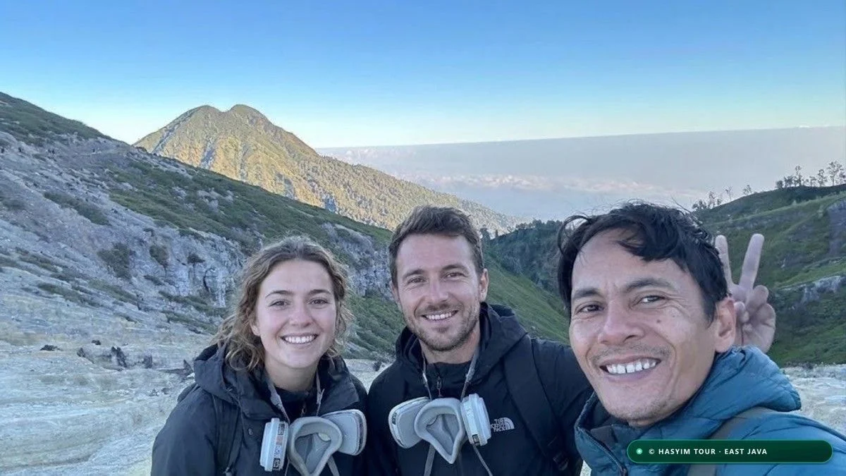
Ascending Kawah Ijen is not an ordinary mountain walk: it is an expedition into an active, highly reactive volcanic crater. The primary physical hazard is not steep terrain, but the acute toxicity of the volcanic gases venting continuously from the solfatara vents. The dominant gas is sulfur dioxide ($SO_2$), accompanied by hydrogen sulfide ($H_2S$), hydrogen chloride ($HCl$), and hydrogen fluoride ($HF$).
Physiopathologically, sulfur dioxide exhibits extreme solubility in water. Upon inhalation, the gas reacts instantaneously with the moisture lining the eyes, nose, throat, and bronchial passages to form highly corrosive sulfurous acid ($H_2SO_3$) and sulfuric acid ($H_2SO_4$). Unprotected exposure causes immediate vocal cord spasms, uncontrollable violent coughing, chemical burns to corneal tissue, and, in severe cases of prolonged inhalation, acute pulmonary edema.
International occupational health authorities (OSHA and NIOSH) set the permissible exposure limit (PEL) for $SO_2$ at 5 ppm (parts per million) for short durations, while the IDLH (Immediately Dangerous to Life or Health) threshold is 100 ppm. Inside the Ijen crater, shifting winds can cause local concentrations to spike within seconds from 2 ppm to over 40 or even 80 ppm. In these conditions, surgical masks, N95/FFP2 dust masks, or wet bandanas provide **zero chemical protection** because gas molecules pass freely through particle filters.
The only verified protection is a soft silicone half-face respirator (such as the 3M 6000 or 7500 series) fitted with twin chemical cartridges certified to European standard EN 14387 class ABEK1 or NIOSH Acid Gas/Organic Vapor standards. These cartridges contain chemically treated activated carbon that neutralizes acidic gases through chemisorption. Hasyim Tour provides properly sanitized, certified respirators to all expedition participants free of charge. For exact costs regarding ABEK1 masks, medical checks and permits, see our transparent breakdown of Ijen and Bromo tour prices.
Since early 2024, the East Java natural conservation authority (BBKSDA) has enforced a mandatory health clearance certificate (*Surat Keterangan Sehat*) for all hikers. This official document certifies that the visitor has no history of severe asthma, coronary heart disease, or uncontrolled hypertension. It can be obtained quickly at local community health clinics (*Puskesmas*) or hospitals in Banyuwangi or Licin the afternoon before your climb for a nominal fee of IDR 25,000 to 50,000 (approx. $1.50 to $3 USD).
"Never compromise on your respirator. Standard masks cannot stop sulfur dioxide: inside the caldera, your lungs depend entirely on certified chemical filters."
| SO₂ Concentration (ppm) | Clinical Symptoms (Unprotected) | Hazard Classification | Required Immediate Action | Approved Protective Equipment |
|---|---|---|---|---|
| 0.5 - 2 ppm | Distinct matchstick sulfur odor detected | Olfactory detection threshold | Check respirator seal against face | Fitted half-mask with ABEK1 filters |
| 3 - 5 ppm | Mild nasal prickling, slight eye irritation | Occupational safety concern | Ensure chemical cartridges are locked | Twin 3M acid gas cartridges |
| 10 - 20 ppm | Reflexive coughing, tearing, throat burn | Acute short-term hazard | Step back and exit the downwind plume | Airtight goggles + ABEK1 respirator |
| 30 - 60 ppm | Violent bronchospasms, severe chest pain | Highly dangerous critical zone | Immediately evacuate upwind toward rim | Full chemical protection mandatory |
| > 100 ppm | Immediate lung tissue damage, collapse | Immediately Dangerous to Life (IDLH) | Emergency evacuation guided by team | Immediate emergency exit from crater |
- Dominant toxic gas: sulfur dioxide (SO₂), forming corrosive acid upon contact with moist human airways.
- Occupational safety limits: OSHA ceiling of 5 ppm, with crater spikes routinely reaching 30-60 ppm.
- Mandatory protective gear: silicone half-face respirator with certified ABEK1 acid gas cartridges.
- Ineffectiveness of cloth masks: dust masks and wet bandanas offer zero defense against gaseous SO₂.
- Official medical protocol: mandatory health clearance (Surat Keterangan Sehat) secured at local clinics.
Minute-by-Minute Night Hike Expedition Timeline
KEY SUMMARY: The blue fire night expedition follows a precise operational timeline: hotel pickup at 00:15 AM, Paltuding arrival at 01:15 AM, gate opening at 02:00 AM, crater rim reached at 03:20 AM, caldera floor descent until 04:30 AM, and sunrise over the turquoise lake at 05:30 AM.
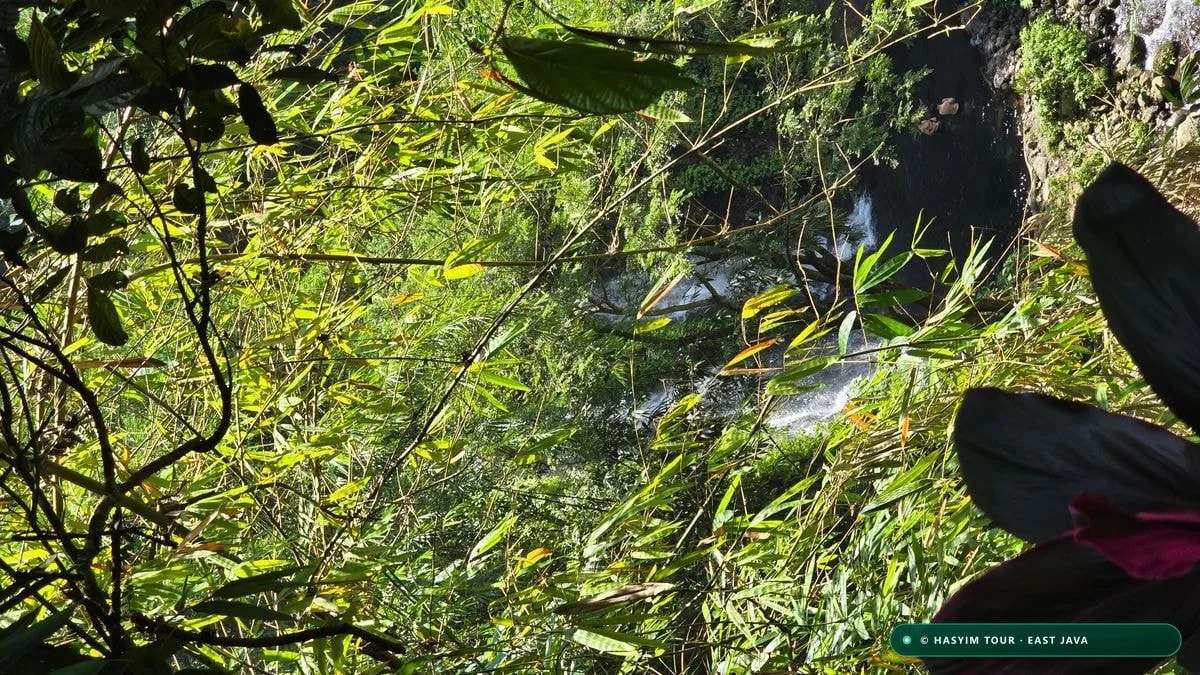
Executing a smooth, stress-free ascent of Kawah Ijen demands strict temporal discipline. The volcano does not forgive casual delays: leaving your hotel just thirty minutes late can cause you to miss the peak blue fire window or get stuck in dense trail traffic along the narrow descent into the crater.
The journey begins in the dead of night between 00:00 AM and 00:30 AM, when our private, air-conditioned vehicle collects you from your accommodation in Banyuwangi, Licin, or Ketapang. The drive winds 35 kilometers through rubber and coffee plantations before ascending the lower forested flanks of Mount Ijen along modern paved mountain roads. During this 60 to 75-minute drive, your Hasyim Tour guide reviews weather radar and verifies medical certificates.
At 01:15 AM, you arrive at the bustling Paltuding basecamp (1,850 m). The night air is crisp and cool. While your guide handles official registration and validates online BKSDA entry permits, you attend a detailed safety briefing: fitting high-powered LED headlamps, performing a positive-pressure seal test on your gas mask, and adjusting trekking poles. Traditional trailside warungs offer hot ginger tea (*wedang jahe*) and local snacks.
At 02:00 AM sharp, the park gates open. The trek begins on a wide volcanic gravel path. The initial kilometer features a gentle 10-12% incline, ideal for warming up leg muscles. Past Pos 1 (1.2 km mark), the grade steepens sharply, averaging 20% to 28% for a demanding kilometer where maintaining a steady, rhythmic breathing pace is vital. This schedule integrates smoothly into our 3-day Bromo, Ijen & Tumpak Sewu circuit. Feel free to contact guide Hasyim directly and check verified reviews from our travelers.
By 03:05 AM, you reach Pos 2 (Pondok Bunder, 2,214 m), home to the historic sulfur weighing station where miners rest their baskets. The final kilometer to the crater rim eases into a gentle winding path bordered by gnarled casuarina trees, reaching the rim ridge (2,386 m) by approximately 03:25 AM.
From here, you begin the technical 800-meter descent into the caldera, dropping 250 meters along a rocky single-track path. With respirators firmly sealed and headlamps focused on footholds, your guide leads you down to the solfatara floor by 03:55 AM. You enjoy 35 to 45 minutes of close-up blue fire viewing and witness the incredible determination of the local sulfur miners.
At 04:35 AM, as the blue flames begin to pale against the morning twilight, you start your climb back up to the crater rim. By 05:15 AM, you are positioned on the eastern scenic ridge as sunrise breaks across the Bali Strait, illuminating the breathtaking turquoise expanse of the world's largest acidic lake. After capturing unforgettable photos, your return descent to Paltuding runs from 06:30 AM to 07:45 AM, concluding an extraordinary nocturnal adventure.
"Punctuality at Ijen guarantees the magic: departing at midnight ensures you reach the caldera floor in quiet darkness and witness the blue fire in intimate peace."
| Time (WIB) | Waypoint / Location | Altitude (m) | Elevation Gain | Pacing & Safety Instructions | Key Highlight |
|---|---|---|---|---|---|
| 00:15 AM | Banyuwangi Hotel | 30 m | 0 m | Confirm warm clothing and trekking shoes | Private expedition departure |
| 01:15 AM | Paltuding Trailhead | 1,850 m | +0 m | Respirator seal check and headlamp test | BKSDA permit registration |
| 02:00 AM | Trailhead Gate | 1,850 m | +0 m | Start slow to regulate heart rate | Park gates open officially |
| 02:40 AM | Pos 1 (Rest Hut) | 1,980 m | +130 m | Gentle grade ends; steep slope begins | Quick hydration pause |
| 03:05 AM | Pos 2 (Pondok Bunder) | 2,214 m | +364 m | Steepest 25% section; maintain cadence | Sulfur weighing station |
| 03:25 AM | Crater Rim Ridge | 2,386 m | +536 m | Put on windproof jacket against cold | First view into dark caldera |
| 03:55 AM | Caldera Solfatara | 2,140 m | -246 m | ABEK1 respirator sealed; rocky path | Electric Blue Fire observation |
| 05:15 AM | Sunrise Viewpoint | 2,386 m | +246 m | Ascent completed before full daylight | Sunrise over the Bali Strait |
| 06:00 AM | Turquoise Lake Panorama | 2,386 m | +0 m | Golden morning light on acidic waters | Panoramic landscape photos |
| 07:30 AM | Paltuding Basecamp | 1,850 m | -536 m | Gentle descent; watch loose gravel | Warm breakfast at local warung |
- 00:15 - 00:30 AM: Hotel pickup in Banyuwangi area and private scenic transfer to Paltuding basecamp.
- 01:15 - 01:55 AM: Arrival at Paltuding (1,850 m), BKSDA permit clearance, respirator fitting, and hot tea.
- 02:00 AM: Official park gate opening and commencement of the guided night trek under the stars.
- 03:20 AM: Reach the crater rim (2,386 m), evaluate wind direction, and prepare for the caldera descent.
- 03:50 - 04:30 AM: Direct observation of electric blue flames and miner operations on the caldera floor.
- 05:15 - 06:15 AM: Spectacular sunrise and panoramic turquoise lake viewing from the upper crater rim.
- 07:30 - 08:30 AM: Return descent to Paltuding basecamp, celebratory breakfast, and transfer to your hotel.
Frequently Asked Questions
Frequently Asked Questions about the Trek
Which month is the best to see the blue fire at Kawah Ijen?
July and August provide the finest statistical conditions, with cloudless night skies over 95% of the time and under 20 mm of monthly rainfall. June and September offer virtually identical dry weather with substantially smaller tourist crowds.
What exact time should I start hiking to see the blue fire?
The Paltuding trailhead gate opens strictly at 02:00 AM. You should begin hiking right at 02:00 AM to reach the crater rim by 03:20 AM and descend to the sulfur vents before 04:00 AM, as the blue flames fade with morning twilight starting around 04:45 AM.
How cold does it get at the top of Kawah Ijen at night?
Ambient temperatures on the crater rim (2,386 m) typically range between 4°C and 9°C. Strong summit winds can drop felt temperatures to around 0°C or below, making a thermal base layer, warm fleece or down jacket, beanie, and gloves essential.
Can I use an ordinary surgical or N95 mask in the crater?
No, ordinary cloth or N95 dust masks are completely ineffective against toxic volcanic gases. They only filter solid particles and allow sulfur dioxide (SO₂) gas to pass straight through. You must wear a silicone half-mask respirator equipped with certified ABEK1 chemical cartridges.
How do I get the mandatory medical certificate (Surat Keterangan Sehat)?
The health clearance certificate is legally required by park authorities (BKSDA) for all hikers. You can obtain it in 15 minutes at any local clinic or community health center (Puskesmas) in Banyuwangi or Licin the day before your hike for IDR 25,000 to 50,000 ($1.50–$3 USD).
Is Kawah Ijen open during the rainy season?
Yes, the park generally stays open between December and March, unless temporarily closed by authorities for volcanic activity or landslides. However, trails become slick, acidic fog frequently blankets the crater, and blue fire visibility drops to roughly 40%.
Can children or elderly travelers do the Kawah Ijen trek?
Hiking to the crater rim is accessible to anyone with average physical fitness, and local miners operate traditional wheeled hand-pulled trolleys ('mountain taxis') for guests who find the climb tiring. However, descending into the crater to the blue fire is strictly discouraged for children under 10 or anyone with asthma or heart conditions.
Why is the New Moon phase preferred for blue fire photography?
Without moonlight illuminating the sky and caldera, the crater experiences total darkness. This pitch-black environment allows the cobalt blue color of the burning sulfur to appear with maximum saturation and brilliance, while creating ideal conditions for Milky Way photography.
Kawah Ijen Electric Blue Fire Guide: Science, Timing & Safety
Understanding 600°C sulfur combustion, 2:00-4:30 AM night viewing, and ABEK1 respirators.
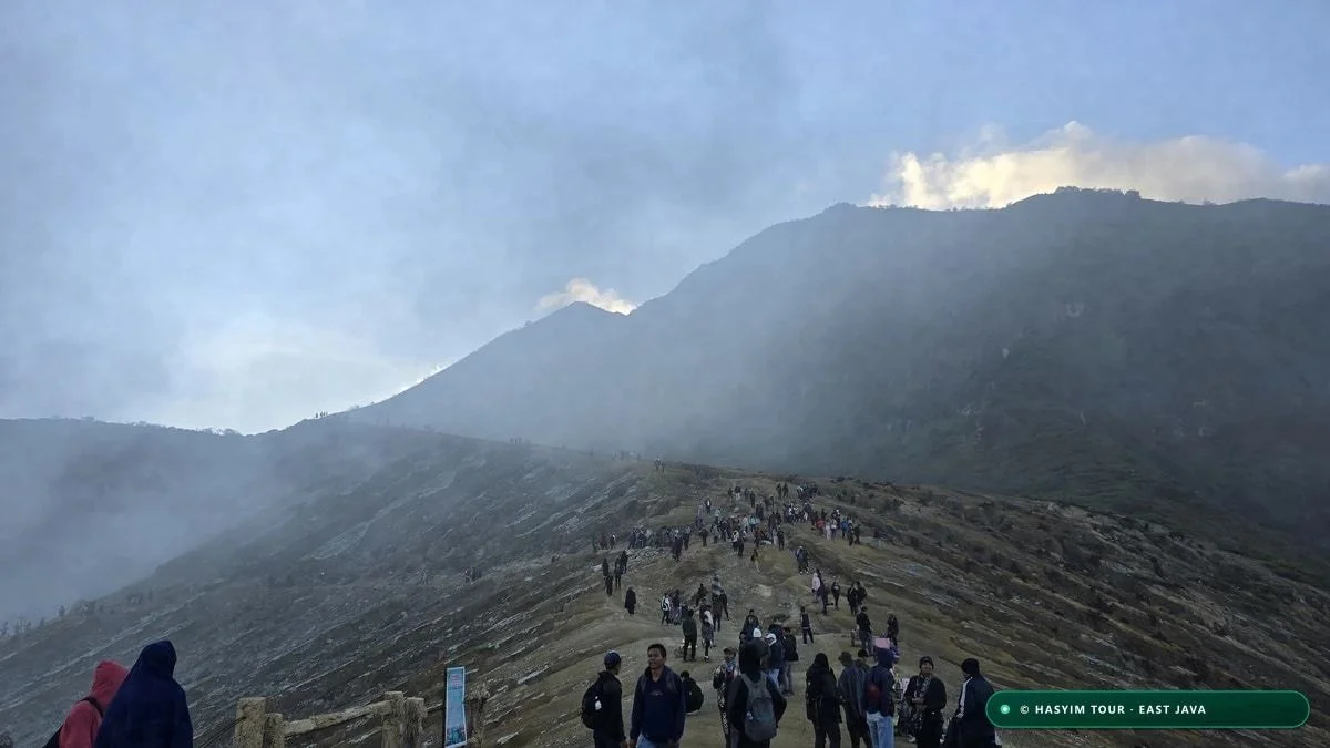
Mount Bromo & Kawah Ijen Complete Trekking Guide (2026 Edition)
Complete reference manual: 15-criteria comparative matrix, atmospheric lapse rate model, and respiratory toxicology.
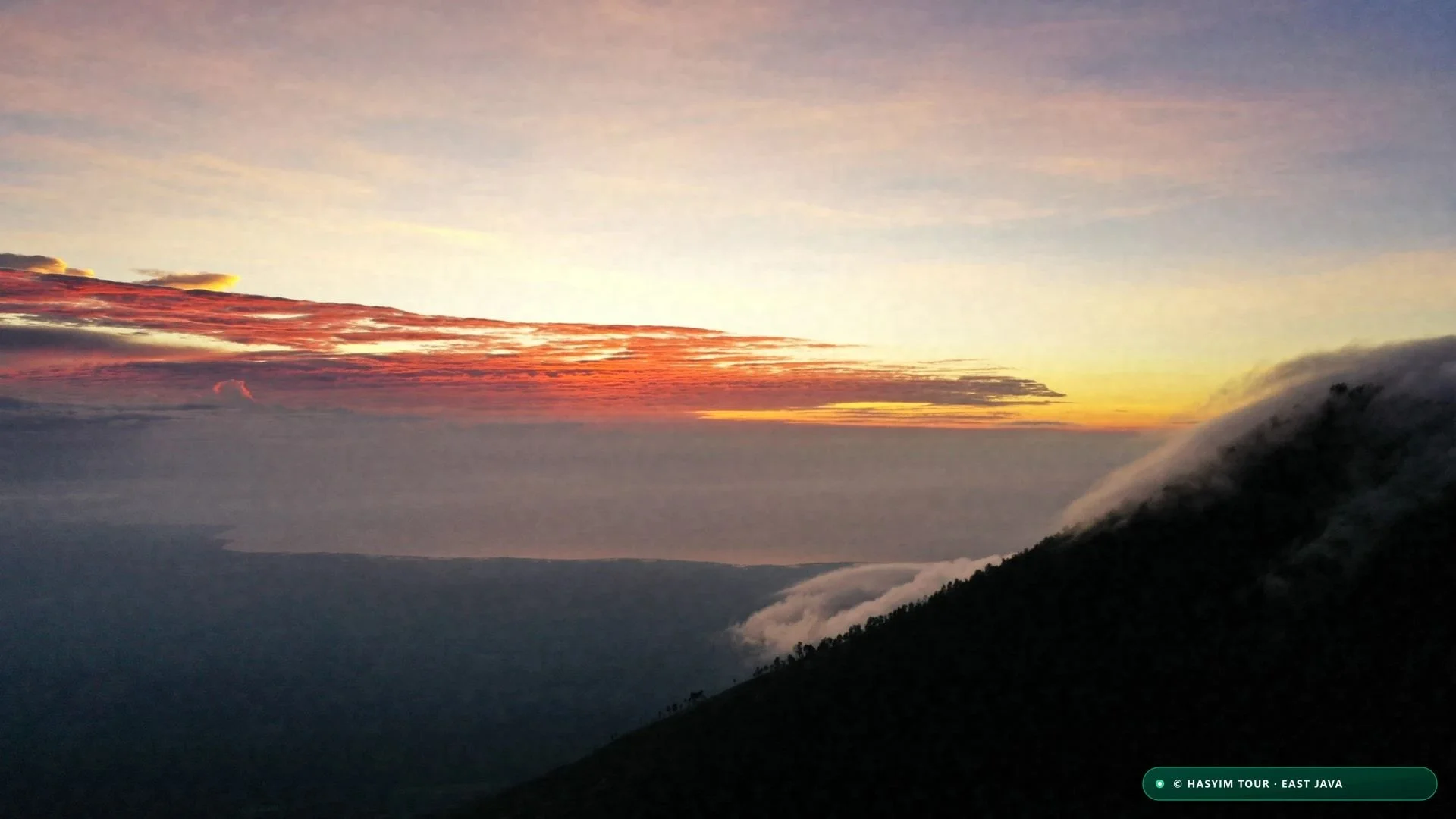
3-Day East Java Volcano Circuit: Bromo, Ijen & Tumpak Sewu
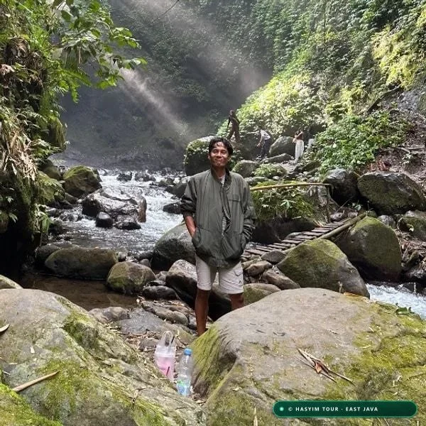
The complete step-by-step overland itinerary: canyon waterfall, sunrise, and blue fire.