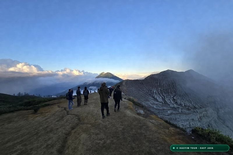
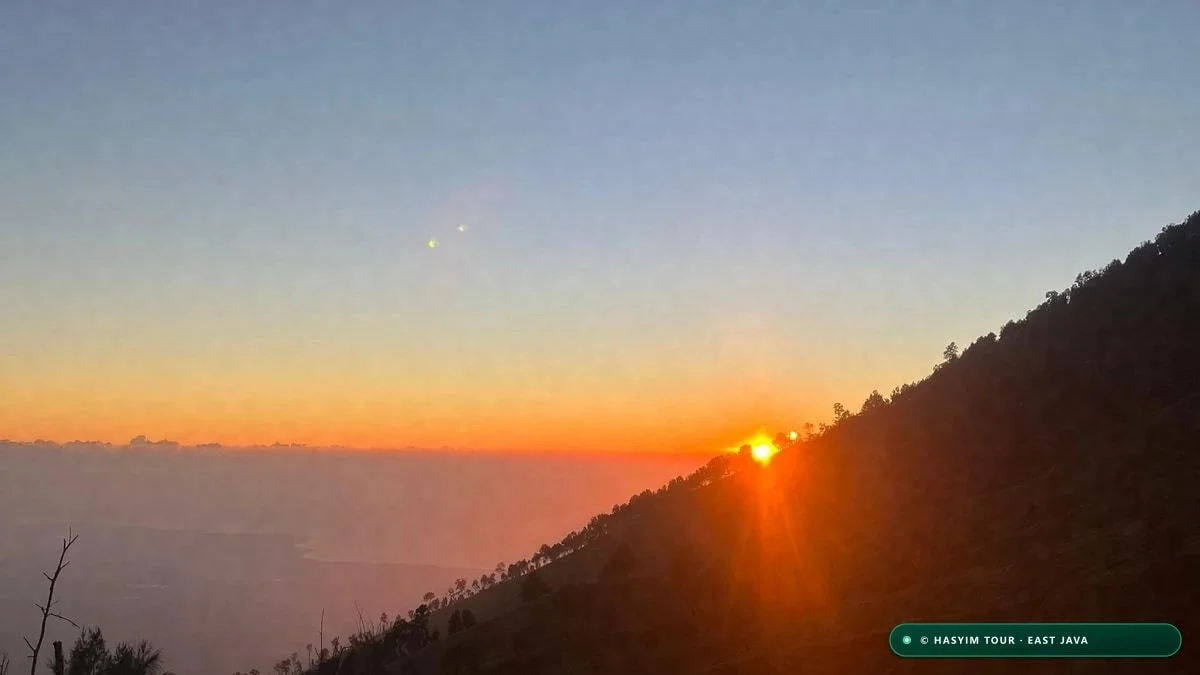
Benchmark of 5 Sunrise Viewpoints: Where to Stand?
SÍNTESIS CLAVE: To witness the iconic Mount Bromo sunrise, King Kong Hill (2,650 m) is the undisputed top viewpoint, combining a dramatic plunge view over Mount Batok with manageable crowds compared to chaotic Penanjakan 1.
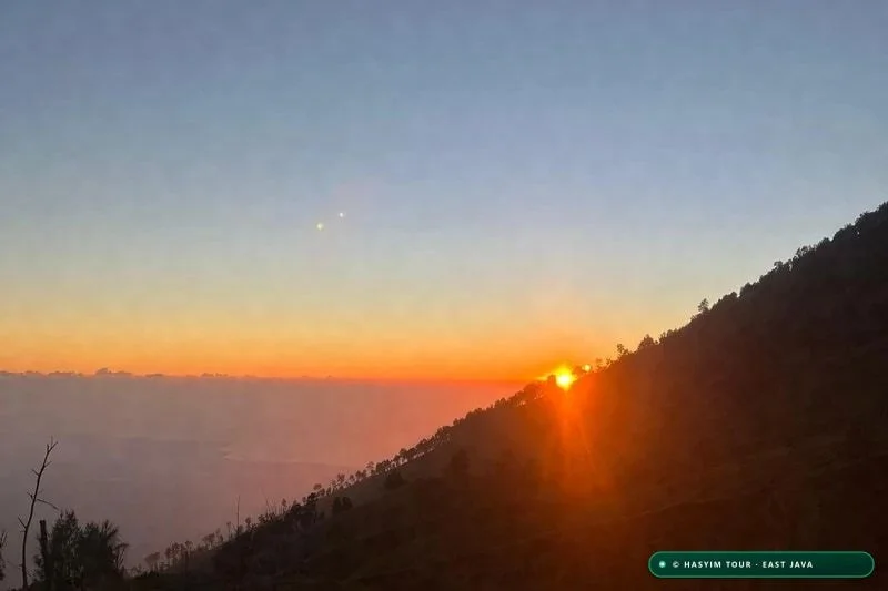
Watching dawn break over the Tengger Caldera is universally hailed as one of the most magnificent geological vistas on Earth. Yet, the emotional and photographic quality of this experience depends fundamentally on one critical logistical decision: choosing which viewpoint to stand on along the northern crater rim. Looking beyond generic travel advice, we have systematically benchmarked the topographical perspectives, crowd densities, and access routes of the five primary overlooks.
Penanjakan 1 (2,770 meters elevation) stands as the highest geographical summit on the rim. Crowned with massive telecommunication towers, it features a semi-circular concrete amphitheater equipped with bleachers and local warung stalls. While this high vantage point delivers an all-encompassing 360-degree vista—spanning the 10-kilometer-wide sand sea, the fluted cone of Mount Batok (2,440 m), the steaming maw of Mount Bromo (2,329 m), and towering Mount Semeru (3,676 m) in the distance—it suffers from extreme tourist congestion. On peak weekend mornings, up to 600 jeeps create mile-long traffic jams, forcing visitors to fight for rail space starting as early as 04:00 AM.
King Kong Hill (Bukit Kedaluh, 2,650 meters elevation), perched roughly 120 meters below Penanjakan along the same ridge line, is the unanimous favorite of our professional landscape photographers and local guides. Situated on a rugged rocky crag jutting directly out above the caldera void, it offers an intimate, three-dimensional perspective. The sculptural ridges of Mount Batok appear close enough to touch. Because large tour buses cannot negotiate the access trail and visitors must walk 10 minutes along a dirt footpath from the secondary parking lot, it retains a serene, adventurous atmosphere.
Seruni Point (Viewpoint 2, 2,400 meters elevation) is located on the lower slope, directly above the highland village of Cemoro Lawang. Recently upgraded with four imposing observation towers inspired by traditional Javanese architecture and connected by a 250-step iron-and-concrete stairway, this vantage point offers the huge advantage of being accessible on foot or horseback directly from village hotels without facing jeep gridlock. The morning mist flowing over the sand below creates an ethereal, low-angle perspective. Para combinar el amanecer en Bromo con Kawah Ijen, descubra nuestro circuito de 3 días por Bromo, Ijen y Tumpak Sewu.
Bukit Cinta (Love Hill, 2,600 meters) and Bukit Mentigen (2,273 meters) round out the alternatives. Bukit Cinta features a wide, paved viewing plaza ideal for families wishing to minimize walking. Bukit Mentigen, meanwhile, is an unpaved grassy knoll situated just outside the jeep restriction boundary: you can walk there from Cemoro Lawang in 20 minutes, enjoying a ground-level sunrise across the Sea of Sand in peaceful solitude without paying for 4WD transport.
"At Penanjakan 1, you share the sunrise with two thousand tourists. At King Kong Hill, you are suspended directly above the void, face to face with the volcanic gods."
| Mirador | Altitud (m) | Ángulo Fotográfico | Afluencia Media | Acceso Jeep / Caminata | Puntuación Recomendada |
|---|---|---|---|---|---|
| King Kong Hill (Bukit Kedaluh) | 2,650 m | Direct plunge view over Mount Batok | Moderate to medium | Jeep + 10 min dirt trail walk | 9.8 / 10 (Top Pick) |
| Penanjakan 1 (Peak) | 2,770 m | Full 360° wide panoramic overlook | Very heavy (Extreme saturation) | Jeep parking + concrete stairs | 8.2 / 10 (Overcrowded) |
| Seruni Point (Viewpoint 2) | 2,400 m | Low-angle mist views and carved towers | Moderate | Jeep or walking from Cemoro Lawang | 8.8 / 10 (Great Alternative) |
| Bukit Cinta (Love Hill) | 2,600 m | Broad southeastern caldera vista | Medium | Jeep parking directly adjacent | 8.0 / 10 (Family Friendly) |
| Bukit Mentigen | 2,273 m | Sea of Sand level, intimate perspective | Low to very quiet | 20-minute walk from Cemoro village | 8.5 / 10 (Quiet & Cheap) |
- King Kong Hill (2,650 m): Best photographic angle and manageable crowd density (Hasyim Tour top recommendation).
- Penanjakan 1 (2,770 m): Highest elevation, but suffers from extreme crowd saturation and jeep traffic jams.
- Seruni Point (2,400 m): Accessible on foot from Cemoro Lawang via beautiful Javanese architectural towers.
- Bukit Mentigen (2,273 m): Budget-friendly and peaceful, accessible on foot without hiring a 4WD jeep.
- Bukit Cinta (2,600 m): Wide, easy-access paved viewing terrace suitable for families with young children.
The Toyota FJ40 Legend and Crossing the Sea of Sand
SÍNTESIS CLAVE: Crossing the Tengger Sea of Sand (Segara Wedi) is performed exclusively in legendary 4WD Toyota Land Cruiser FJ40s operated by the Paguyuban Jeep Bromo cooperative. An unforgettable journey across a high-altitude volcanic ash desert at 2,100 m.
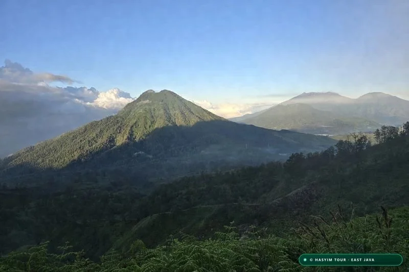
The moment you enter the mountain gateways of Sukapura or Cemoro Lawang in the middle of the night, a distinctive mechanical roar reverberates through the crisp mountain air: the unmistakable hum of straight-six engines belonging to vintage Toyota Land Cruiser FJ40 and BJ40 hardtops. Manufactured between 1965 and 1984, these indestructible four-wheel-drive icons have become the living soul of Bromo-Tengger-Semeru National Park. Over 1,500 meticulously restored and brightly painted jeeps make up the fleet of the local cooperative, *Paguyuban Jeep Bromo*.
This village cooperative system rigorously regulates all vehicular entry into the caldera. To safeguard the fragile ecosystem of the Sea of Sand (*Segara Wedi*) and ensure equitable economic benefits for indigenous highland families (across Ngadisari, Wonokitri, and Tosari), private passenger cars and tourist vans are strictly barred from driving onto the caldera basin. Only authorized 4WD jeeps registered with the cooperative and driven by native Tengger drivers are permitted to operate on the volcanic ash.
The Sea of Sand stretches for over 10 kilometers at an average elevation of 2,100 meters above sea level. Created by the cataclysmic collapse of the ancient Tengger supervolcano more than 40,000 years ago, this vast desert basin consists of deep andesitic ash, pumice gravel, and pulverized lava dust. Without permanent four-wheel drive, high ground clearance, low-pressure tires, and intimate familiarity with shifting volcanic sand traps, vehicles quickly become bogged down. Los precios de los jeeps 4x4 y entradas están desglosados en nuestra guía de tarifas de tours en Bromo e Ijen.
The classic 4WD tour follows four signature waypoints: the nocturnal climb up to a sunrise viewpoint (Penanjakan, King Kong Hill, or Bukit Cinta); the morning descent onto the Sea of Sand to park beside Mount Bromo and the sacred Pura Luhur Poten temple; crossing the Whispering Sands (*Pasir Berbisik*), where howling mountain winds whip dry volcanic dust across rippling dunes; and exploring the lush green Savanna basin, affectionately known as 'Teletubbies Hill' (*Bukit Teletubbies*), where rolling emerald meadows contrast sharply against the rugged caldera ramparts.
Booking through Hasyim Tour guarantees a private, mechanically vetted Toyota FJ40 piloted by an experienced, courteous local driver who prioritizes passenger safety over reckless off-road speeding. Each jeep comfortably accommodates up to 5 to 6 adult passengers, equipped with operational seatbelts and sealed cabin windows to prevent inhaling acidic dust during windy transits.
"The Toyota FJ40 is not merely a vehicle: it is the mechanical camel of the Tengger desert. Without it, the vast caldera floor would remain completely impassable."
| Circuito Jeep Bromo | Etapas Incluidas | Duración Total | Precio Medio Vehículo (IDR) | Capacidad Recomendada |
|---|---|---|---|---|
| 2-Point Express Tour | Sunrise Viewpoint + Mount Bromo Crater | 4 hours | IDR 600,000 - 700,000 | 1 to 5 passengers |
| 4-Point Complete Tour | Sunrise + Crater + Pasir Berbisik + Savanna | 6 hours | IDR 750,000 - 850,000 | 1 to 6 passengers |
| 5-Point Premium Tour | Sunrise + King Kong + Crater + Savanna + B29 | 8 hours | IDR 950,000 - 1,200,000 | 1 to 5 passengers |
| Malang - Bromo Overland | Direct 4x4 overland transit via Tumpang | Full Day | IDR 1,400,000 - 1,700,000 | 1 to 5 passengers |
- Protected vintage fleet: over 1,500 classic Toyota Land Cruiser FJ40 4x4s managed by the village cooperative.
- Strict vehicle exclusion: private tourist cars and vans are strictly prohibited from driving on the caldera sand.
- Classic 4-point circuit: Sunrise Overlook + Bromo Crater + Whispering Sands + Teletubbies Green Savanna.
- Passenger comfort & capacity: 5 to 6 guests per vehicle, 4WD traction essential on shifting volcanic ash.
- Official cooperative rates: IDR 650,000 to 850,000 per jeep for the complete 4-point tour.
Climbing the 250 Steps to the Active Crater Rim
SÍNTESIS CLAVE: After traversing the Sea of Sand, ascending Mount Bromo's volcanic cone involves a 1.5 km approach on foot or horseback, followed by climbing 250 steep concrete steps leading directly to the smoking, roaring crater edge.
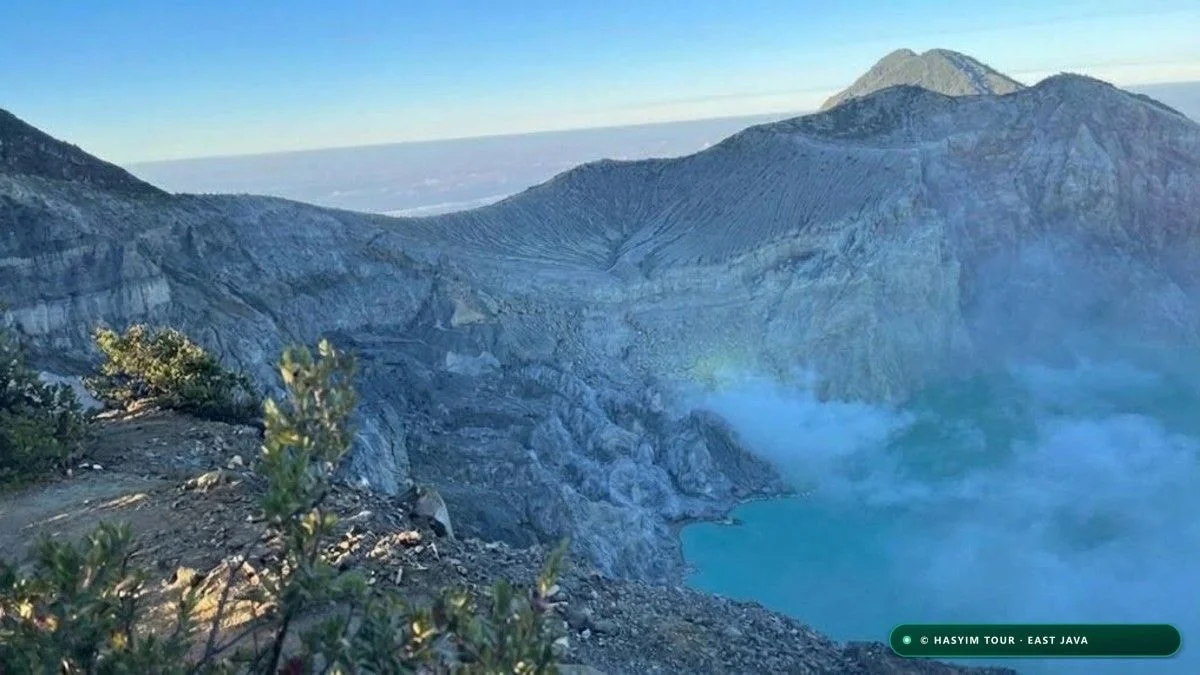
After drinking in the golden dawn from the high viewpoint, your jeep navigates tight mountain switchbacks to descend directly onto the caldera floor, parking on the natural volcanic plain beside the towering conical peak of Mount Batok. From here begins the active phase of the journey: hiking to the rim of Mount Bromo's active crater.
The first leg consists of a 1.5-kilometer trek across flat, powdery volcanic sand. This path skirts the foreboding black stone walls of *Pura Luhur Poten*, the sacred Hindu temple standing in isolated majesty amidst the ash. Visitors can walk this distance in 20 to 25 minutes or hire one of the sturdy mountain ponies handled by traditional Tengger horsemen.
At the base of the volcanic cone, the trail ramps upward on loose volcanic ash before reaching the famed 250 concrete steps. Originally engineered during the Dutch colonial era and rebuilt multiple times after major eruptions, this stairway allows hikers to gain the final 130 meters of vertical elevation in 10 to 15 minutes of steady climbing. Compare este ascenso con el cráter de Ijen en nuestra guía completa de trekking por los volcanes de Java.
Reaching the top of the stairs at 2,329 meters above sea level delivers an unforgettable sensory shock. You emerge directly onto a razor-thin crater rim. Gazing downward, an 800-meter-wide yawning chasm drops hundreds of meters into a swirling vortex of sulfurous steam and churning volcanic ash. The sound emanating from the magma conduit deep within is a continuous, deafening roar resembling a fleet of jet engines idling at full throttle.
Caution along the crater rim is paramount. Only a 50-meter section directly at the stairhead features a protective concrete parapet; beyond this barrier, the rim narrows into an exposed, unshielded trail of crumbly volcanic soil less than one meter wide, flanked by a sheer drop into the crater on one side and a steep slide down the outer cone on the other. Venturing onto unbarricaded sections is strongly discouraged, particularly in high winds.
"Standing on the rim of Bromo is like listening to the raw heartbeat of the Earth. The deep, guttural roar rising from the magma chamber stays with you forever."
| Tramo de Ascenso | Distancia / Desnivel | Tiempo de Marcha | Tipo de Suelo | Consejo de Seguridad |
|---|---|---|---|---|
| Jeep Depot -> Pura Poten | 800 m / Flat (+10 m) | 10 minutes | Loose volcanic sand | Wear buff or bandana to block fine ash |
| Pura Poten -> Stair Base | 700 m / Slight incline (+40 m) | 12 minutes | Compacted volcanic gravel | Optional horseback hire available |
| Concrete Crater Stairs | 250 steps / (+130 m) | 12 to 15 minutes | Concrete steps with handrail | Maintain steady cardio rhythm; do not run |
| Active Crater Edge | 50 m barricaded ridge | Free observation time | Volcanic rock and sulfur dust | STRICTLY REMAIN behind protective railings |
| Descent Return to Jeep | 1.5 km / (-180 m) | 25 minutes | Soft downhill ash | Glissade walking on sand; shield eyes from dust |
- Caldera approach walk: 1.5 km across flat volcanic ash from the jeep depot to the cone base.
- Horseback option: traditional Tengger mountain ponies available (roughly IDR 150,000 to 200,000 return).
- Historic stairway: 250 solid concrete steps equipped with a center handrail leading to the rim.
- Thunderous acoustic roar: deafening acoustic vibrations generated by venting magmatic gases.
- Rim safety protocol: remain behind safety barriers and never traverse unbarricaded crumbly edges.
Anthropology and Sacred Beliefs of the Tengger Hindu People
SÍNTESIS CLAVE: The Tengger people represent a unique Hindu community of 100,000, direct descendants of the 15th-century Majapahit empire who sought sanctuary in the mountains. Their sacred Pura Luhur Poten temple and the annual Yadnya Kasada ritual embody deep volcanic devotion.
To truly appreciate Mount Bromo, one must look beyond its striking landscape and understand the spiritual heritage of its historic guardians: the Tengger people (*Wong Tengger*). While over 90% of Java transitioned to Islam beginning in the 15th century following the rise of coastal sultanates, the impenetrable volcanic highlands of the Tengger range became a safe haven for priests, nobles, and artisans fleeing the collapsing Hindu-Buddhist Majapahit Empire.
Today numbering roughly 100,000 people across thirty mountain villages (including Ngadisari, Wonokitri, Ngadas, and Tosari), the Tengger preserve an archaic, nature-focused form of Javanese Hinduism (*Agama Hindu Dharma Tengger*). Unlike Balinese Hinduism with its elaborate decorative temples, Tengger spirituality revolves directly around the worship of primal natural deities, especially the volcanic forces embodied by Mount Bromo.
Mount Bromo takes its very name from the Javanese pronunciation of Brahma, the creator god of the Hindu Trimūrti. According to oral folklore, Princess Roro Anteng (daughter of the Majapahit king) and her husband Joko Seger (son of a high priest) settled in the caldera but were unable to bear children. After intense prayer at the volcano summit, Lord Brahma granted them twenty-five children on the condition that the youngest child be sacrificed into the crater to ensure the prosperity of the land.
The twenty-fifth prince, Raden Kusuma, voluntarily leapt into the fiery abyss to fulfill his parents' vow and protect his community. In commemoration of this supreme sacrifice, the Tengger celebrate the sacred festival of *Yadnya Kasada* each year on the 14th day of the Kasada month in their traditional lunar calendar (usually falling in June or July).
During this festival, thousands of Tengger pilgrims wearing traditional batik sarongs and warm woolen beanies assemble at Pura Luhur Poten, the black volcanic stone temple situated on the Sea of Sand. Following hours of prayer led by village priests (*dukun*), pilgrims hike to the crater rim before dawn to cast offerings of vegetables, fruit, live goats, chickens, and money into the smoking caldera, renewing their ancient covenant with the volcano.
"To us, Mount Bromo is not a tourist attraction: it is the living altar of our ancestors and the breath of Lord Brahma. We have lived in harmony with it for six centuries."
| Elemento Cultural | Significado Espiritual | Ubicación Clave | Mejor Momento de Visita | Regla de Conducta |
|---|---|---|---|---|
| Pura Luhur Poten | Main caldera temple and ritual hub | Sea of Sand (base of Bromo) | Year-round | Do not enter inner courtyard without local guide |
| Yadnya Kasada Festival | Sacrificial offerings into the crater | Active crater rim of Bromo | 14th day of Kasada month (June/July) | Maintain silence; do not disturb praying pilgrims |
| Village Shrines (Padmasana) | Altars dedicated to protective spirits | Village entrances and viewpoints | Permanent | Never touch, step over, or move flower offerings |
| Traditional Tengger Attire | Warm batik sarong and woolen scarf | Ngadisari and Tosari villages | Daily life | Dress modestly when entering village temple areas |
| Customary Priests (Dukun) | Spiritual leaders and healers | Residing in each highland village | Religious ceremonies | Always ask permission before taking close-up photos |
- Preserved Hindu enclave: direct descendants of the 15th-century Majapahit Empire taking refuge in the highlands.
- Sacred etymology: the name 'Bromo' is the Javanese transcription of Brahma, the creator god in Hinduism.
- Legend of Roro Anteng & Joko Seger: sacrifice of Prince Raden Kusuma to save his people from famine.
- Annual Yadnya Kasada ceremony: sacred festival where crops, livestock, and money are cast into the crater.
- Pura Luhur Poten: magnificent black lava-stone temple built in 2000 on the Sea of Sand for sacred worship.
High-Altitude Weather and Surviving Sub-Zero Cold
SÍNTESIS CLAVE: At Penanjakan (2,770 m) and King Kong Hill, pre-dawn temperatures routinely plunge between 0°C and 5°C during the dry season, with frost on the sand sea (embun upas). A technical 3-layer clothing system is indispensable.
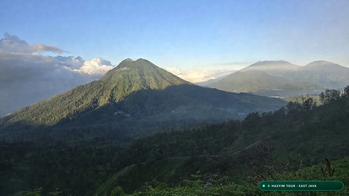
The most shocking surprise for unprepared travelers visiting Mount Bromo is the fierce cold of East Java's volcanic highlands. Misled by tropical stereotypes of Indonesia, many tourists board their jeeps wearing light cotton hoodies or beach shorts. At summit ridges between 2,400 and 2,770 meters elevation, nocturnal mountain weather closely mirrors crisp autumn nights in the European Alps or the Rocky Mountains.
During the peak dry season (June to September), the southern winter anticyclone pushes cold, dry air masses from the Australian desert directly across East Java. Under cloudless skies, radiative cooling rapidly strips heat from the ground. Between 03:00 and 05:30 AM, temperatures on the ridges routinely hover between 0°C and 4°C.
On the floor of the Sea of Sand (2,100 m), this intense radiative cooling produces a spectacular meteorological phenomenon known locally as *embun upas* (toxic dew or frost). Airborne moisture freezes upon contact with the sand and vegetable crops, blanketing the caldera in shimmering white frost as temperatures drop to -2°C or -3°C.
Windchill severely compounds the cold. Across exposed viewpoints at Penanjakan, steady winds of 25 to 40 km/h sweep the crowd barriers. With an ambient temperature of 2°C, a 35 km/h wind creates a felt temperature (*windchill*) close to -4°C. Standing stationary for an hour waiting for sunrise can quickly become physically miserable without proper clothing.
To stay comfortable, we mandate the classic three-layer system: thermal moisture-wicking base layers, a thick fleece or packable down jacket, a windproof outer shell, warm gloves, a woolen beanie, and a neck gaiter (which also shields against volcanic dust during the descent). Local merchants at Cemoro Lawang also rent heavy winter parkas for approximately IDR 30,000 to 50,000 ($2 to $3 USD).
"Indonesia is a tropical paradise, but Bromo at four in the morning is an open-air freezer. If you are freezing, you will miss half the beauty."
| Mes del Año | Temp. Nocturna Cumbre | Riesgo de Helada (Embun Upas) | Viento Medio en Cresta | Consejo de Ropa Térmica |
|---|---|---|---|---|
| January - March (Monsoon) | 6°C to 11°C | None (Cloud cover and rain) | Light to moderate (15 km/h) | Waterproof rain jacket and warm fleece |
| April - May (Shoulder) | 4°C to 8°C | Very rare | Moderate (20 km/h) | Fleece mid-layer + windbreaker jacket |
| June - July (Winter Peak) | 0°C to 4°C | High (Frequent frost on sand) | Strong (30-45 km/h) | Heavy down jacket, gloves, beanie, base layers |
| August - September (Cold Dry) | 1°C to 5°C | Very high (Coldest nights) | Brisk (25-40 km/h) | Full technical 3-layer alpine clothing |
| October - November (Late Season) | 5°C to 9°C | None | Moderate (20 km/h) | Standard thermal windproof jacket |
| December (Early Monsoon) | 7°C to 12°C | None | Variable thunderstorm wind | Rainproof gear and thermal insulation |
- Nocturnal temperature range: 0°C to 5°C across Penanjakan and King Kong Hill ridges from June to September.
- Caldera frost (embun upas): sub-zero ground freezes on the Sea of Sand with temperatures reaching -2°C.
- Severe windchill: exposed summit gusts lower the human felt temperature below the freezing mark.
- Essential gear checklist: windproof down jacket, warm gloves, beanie, and a dust-filtering neck gaiter.
- Local rental alternative: heavy winter parkas rentable at Cemoro Lawang warungs for IDR 30k-50k.
Photography Masterclass and National Park Drone Rules
SÍNTESIS CLAVE: To photograph the dramatic Bromo sunrise, use a 70-200 mm telephoto lens to compress the layers between Mount Batok and erupting Semeru. Recreational drone flying is strictly regulated by the national park authority (TNBTS).
Photographing sunrise over the Tengger Caldera is a bucket-list dream for landscape photographers, yet it presents immense dynamic range challenges. Between 05:00 and 05:45 AM, the eastern sky explodes with vivid crimson and gold while the caldera floor remains shrouded in deep blue shadows. Standard camera sensors cannot record this extreme exposure range without advanced technique.
The most common mistake is relying exclusively on an ultra-wide lens (such as a 16-35 mm). While wide angles capture the expansive breadth of the caldera, they push Mount Bromo and Mount Batok into tiny, distant silhouettes. The most striking, award-winning images are captured using medium to long telephoto lenses (70-200 mm or 100-400 mm). Lens compression draws towering Mount Semeru—situated 18 kilometers behind Bromo—dramatically forward, emphasizing the ribbed volcanic ridges of Mount Batok bathed in golden side-light.
For camera settings, turn off optical lens stabilization when locked onto a sturdy tripod. Use your sensor's base ISO (ISO 100) for clean detail, set your aperture between f/8 and f/11 for edge-to-edge sharpness, and engage Auto Exposure Bracketing (AEB) across 3 to 5 frames (-2 to +2 EV) to seamlessly merge highlights and shadows in HDR post-processing.
Keep your lens trained on Mount Semeru (Mahameru). As Java's highest peak at 3,676 meters, this active stratovolcano produces miniature vulcanian eruptions like clockwork every 20 to 30 minutes, sending mushrooming ash clouds into the sky. Capturing this ash plume backlit by pink dawn light transforms an ordinary landscape into an extraordinary composition.
Regarding drone operations: Bromo-Tengger-Semeru National Park (TNBTS) enforces strict regulations. Flying drones inside the park requires an official commercial permit costing roughly IDR 2,000,000. Drones are strictly banned from flying over crowded viewing decks at Penanjakan 1 and directly above horses on the Sea of Sand to prevent dangerous animal stampedes.
"Keep your wide-angle lens in the bag at dawn: mount a 70-200 mm, frame Mount Batok with Semeru's ash plume behind it, and wait for the first golden rays."
| Objetivo / Focale | Encuadre y Composición | Interés Fotográfico | Filtro Recomendado | Momento Óptimo |
|---|---|---|---|---|
| Wide-Angle 16-35 mm | Entire sweeping caldera overlook | Captures immense scale of sand sea | Circular Polarizer (CPL) | Full morning daylight (06:30 AM) |
| Standard Zoom 24-70 mm | Medium framing of Bromo & Batok | Versatile for jeeps and landscape | Graduated Neutral Density (GND) | Beginning of sunrise (05:15 AM) |
| Telephoto 70-200 mm | Close-up on Batok ridges & Semeru | Epic perspective compression (TOP PICK) | None (Maximum optical clarity) | Golden sunrise light (05:20-05:45 AM) |
| Super-Tele 300-400 mm | Tight crop on Semeru crater plume | Captures volcanic eruption bursts | Heavy tripod required | During Semeru ash puff cycles |
| Drone (Mavic / Air 3) | Overhead top-down caldera patterns | Abstract geometric sand dune views | ND16 / ND32 filter | 06:00 AM (Away from crowds) |
- Optimal focal length: 70-200 mm telephoto to compress perspectives between Batok, Bromo, and Semeru.
- Camera exposure baseline: sturdy tripod, ISO 100, aperture f/8-f/11, 3-shot exposure bracketing (-2, 0, +2 EV).
- Semeru ash eruptions: time your shot to catch the volcanic ash plume that erupts every 20-30 minutes.
- National park drone rules: commercial filming permit required (IDR 2,000,000 official fee).
- Strict flight bans: no flying over crowded viewing terraces or directly above horses on the sand.
Minute-by-Minute Bromo Sunrise Expedition Timeline
SÍNTESIS CLAVE: The Mount Bromo sunrise expedition is precision-timed: jeep departure at 03:00 AM from Sukapura/Cemoro Lawang, viewpoint arrival by 04:00 AM, sunrise at 05:15 AM, crater climb at 07:00 AM, and hotel return by 09:30 AM for breakfast.
A seamless Mount Bromo sunrise expedition requires tight scheduling. With hundreds of 4WD jeeps converging on narrow mountain roads each morning, a 15-minute delay can lead to being stuck in long traffic jams below Penanjakan.
Your alarm sounds around 02:15 AM at your hotel in Sukapura, Wonokitri, or Cemoro Lawang. Between 02:45 and 03:00 AM, your private Toyota FJ40 jeep arrives directly outside. The climb winds up mountain roads through pine forests under starry skies. By 03:45 AM, your driver parks at the designated staging area near King Kong Hill.
A brisk 10 to 15-minute walk with headlamps brings you to the rocky overlook by 04:05 AM. Here, you can warm up in a traditional Tengger warung with a hot cup of Javanese coffee (*kopi tubruk*) or ginger tea. By 04:45 AM, astronomical dawn paints the eastern horizon in deep indigo and violet. Conozca nuestro paquete estrella 3 Días / 2 Noches Bromo e Ijen, descubra a nuestro equipo local y escríbanos por WhatsApp para reservar.
At 05:15 AM sharp, the magic begins: golden sunbeams pierce the horizon, sequentially illuminating Mount Semeru's summit, the fluted slopes of Mount Batok, and Mount Bromo's swirling ash plume. You enjoy a full hour of photography and viewing in glorious golden morning light.
At 06:15 AM, return to your jeep to descend to the Sea of Sand. Arriving by 06:45 AM, you walk or ride horseback across the sand past Pura Poten temple, then climb the 250 concrete steps to peer into the roaring volcanic crater until 08:00 AM.
From 08:15 to 09:00 AM, your jeep tours the rippling dunes of the Whispering Sands (*Pasir Berbisik*) and the verdant slopes of the Savanna (*Teletubbies Hill*). By 09:30 AM, you are back at your hotel for a hot shower, a hearty breakfast, and the next leg of your East Java journey.
"The magic of Bromo lies in its perfect contrast: the freezing silence of dawn on the high ridges, followed by raw volcanic power at the edge of the roaring crater."
| Horario Preciso (WIB) | Etapa de la Expedición | Altitud (m) | Clima e Iluminación | Acción Clave del Viajero |
|---|---|---|---|---|
| 02:45 AM | Hotel Jeep Departure | 1,800 - 2,200 m | Cold night air (8°C) | Check warm layers, gloves, and camera batteries |
| 03:45 AM | King Kong Hill Depot | 2,600 m | Starry, very cold sky (2°C) | Enjoy hot coffee in traditional warung |
| 04:15 AM | Viewpoint Setup | 2,650 m | Deep twilight darkness | Mount tripod and frame composition on Batok |
| 04:45 AM | Astronomical Dawn | 2,650 m | Indigo and violet hues | Begin long exposure twilight photography |
| 05:15 AM | SUNRISE BREAKTHROUGH | 2,650 m | Golden rays flood caldera | Witness dramatic sunrise and caldera mist |
| 06:15 AM | Caldera Descent in 4WD | 2,300 m | Crisp morning daylight | Return to jeep before road bottlenecks form |
| 06:45 AM | Sea of Sand & Pura Poten | 2,100 m | Bright, clear morning sun | Walk or ride horse toward volcanic cone base |
| 07:15 AM | Bromo Active Crater Rim | 2,329 m | Sulfur vapors, loud roar | Peer into active crater from behind railings |
| 08:15 AM | Whispering Sands & Savanna | 2,100 m | Warming sun (18°C) | Landscape photography across dunes and hills |
| 09:30 AM | Hotel Breakfast Return | 1,800 - 2,200 m | Mild, pleasant weather | Hot shower, breakfast, and well-earned rest |
- 02:45 - 03:00 AM: Private Toyota 4WD jeep pickup from your accommodation in Sukapura or Cemoro Lawang.
- 03:45 - 04:15 AM: Arrival at King Kong Hill parking, hot coffee at local warung, and viewpoint setup.
- 04:45 - 06:00 AM: Stunning sunrise panorama over the caldera, Mount Batok, and erupting Mount Semeru.
- 06:30 - 08:00 AM: Sea of Sand transit in 4WD and climbing the 250 steps to the active crater rim.
- 08:15 - 09:00 AM: Exploring the Whispering Sands dunes and the lush green Teletubbies Savanna.
- 09:30 AM: Return to hotel, refreshing hot shower, breakfast, and preparation for onward travel.
Preguntas Frecuentes
Preguntas Frecuentes sobre la Expedición
Which viewpoint is the best for sunrise at Mount Bromo?
King Kong Hill (Bukit Kedaluh) is our top recommendation: it provides a steeper, more dramatic angle over Mount Batok and Bromo's crater than Penanjakan 1, while having far fewer crowds.
How cold does it really get at Mount Bromo at sunrise?
It gets surprisingly cold. At viewpoints above 2,600 meters, pre-dawn temperatures typically hover between 0°C and 5°C from June to September. Steady mountain winds lower the felt temperature below freezing. A warm down jacket, beanie, and gloves are essential.
Can I visit Mount Bromo without booking a 4WD jeep?
You can hike on foot from Cemoro Lawang to Seruni Point or Bukit Mentigen (1 to 1.5 hours) and walk across the Sea of Sand to the crater. However, reaching the highest viewpoints like King Kong Hill and exploring the Savanna practically requires a 4WD jeep.
How many stairs do you have to climb to reach Bromo's crater?
The final concrete stairway has exactly 250 steps with a sturdy center handrail. It takes 10 to 15 minutes of steady walking from the base of the volcanic cone.
Is it safe to stand on the edge of Mount Bromo's crater?
Yes, as long as the volcanic alert level remains at Level I or II. A concrete safety railing protects the summit of the stairway. Never climb over safety barriers or walk along unbarricaded crumbly edges.
Why are private cars banned from driving on the Sea of Sand?
National park regulations and the Paguyuban Jeep cooperative restrict the sand sea to authorized 4WD vehicles to protect the fragile volcanic ash ecosystem and sustain the livelihoods of local Tengger drivers.
Can I fly a drone at Mount Bromo?
TNBTS national park requires an official commercial permit costing approximately IDR 2,000,000. Drones are strictly forbidden from flying directly over crowded viewing terraces or above horses on the sand.
How much does a horse ride cost on the Sea of Sand?
Official cooperative rates for a return horseback ride between the jeep depot and the crater stairs range from IDR 150,000 to 250,000 ($10–$16 USD). It is an excellent option for anyone wishing to avoid walking in loose ash.
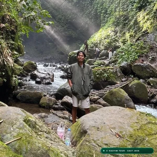
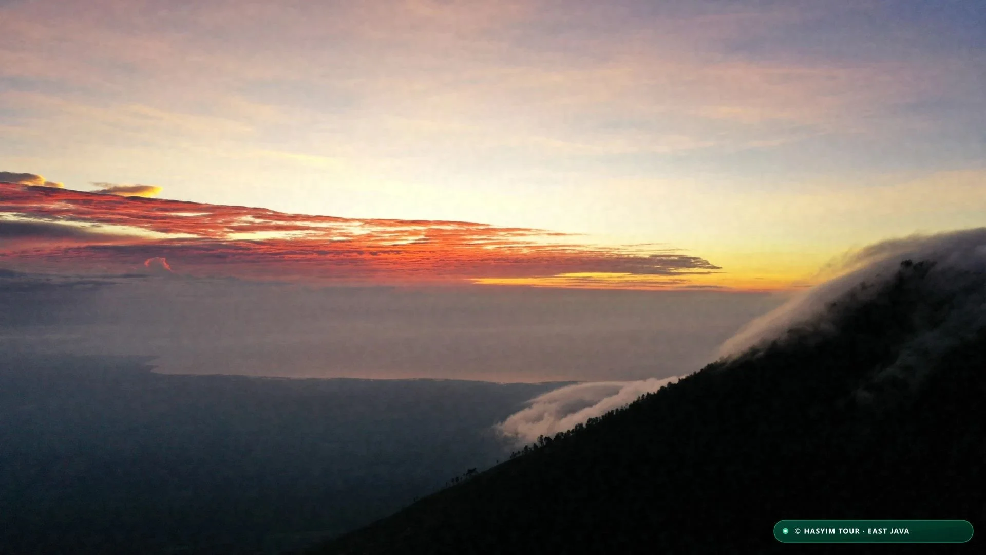
Circuito 3 Días Volcanes Java Oriental: Bromo, Ijen y Tumpak Sewu
Itinerario completo paso a paso: cascada en el cañón, amanecer y fuego azul con chofer.
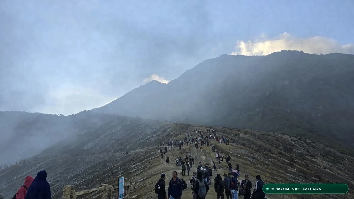
Guía Completa de Ascenso al Kawah Ijen y Monte Bromo (Edición 2026)
Manual de referencia: matriz comparativa de 15 criterios, gradiente térmico adiabático y seguridad en el cráter.
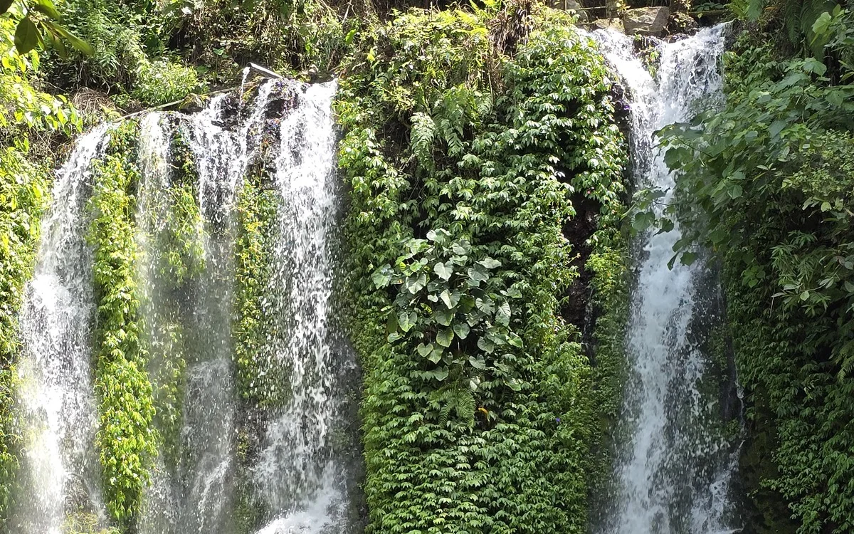
Cascada Tumpak Sewu: Guía de las Mil Cascadas de Java Oriental
Descenso por el cañón de 120m, escaleras de bambú, cueva Goa Tetes y calzado adecuado.